17 to 14 million years ago large lava flows repeatedly covered much of Oregon and Washington. This resulted in layer of basalt rock with a depth of more than 5,900 feet in places. 15 to 13 thousand years ago glacial ice dams blocked the Clark Fork River in Montana creating Glacial Lake Missoula. When each ice dam ruptured, a massive flood flowed down Columbia River and up the Willamette River. These floods, known as the Missoula floods, scoured the basalt layer in some places and buried the basalt layer with sediment in other places. These floods are the largest floods known to humanity having a depth of 400 feet in the Portland area.
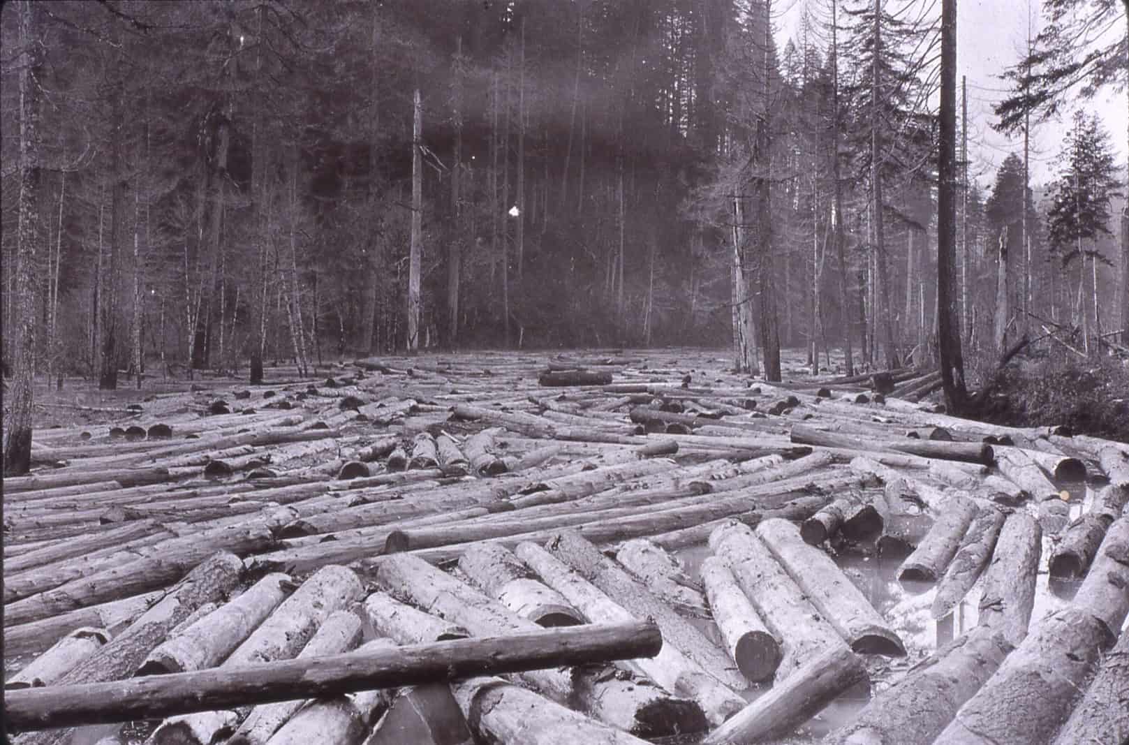
The exposed basalt layer seen at this point in the river is due to activity associated with the logging industry. When log drives became the most popular means of getting timber to the mills, stream flow had to be constant with no obstructions. “Splash dams” were constructed across sections of the river, storing water and logs behind them. When the spillway was opened, large quantities of water and logs were flowed downstream. Over time, this scoured the river beds down to the basalt layer destroying habitat and channel complexity.
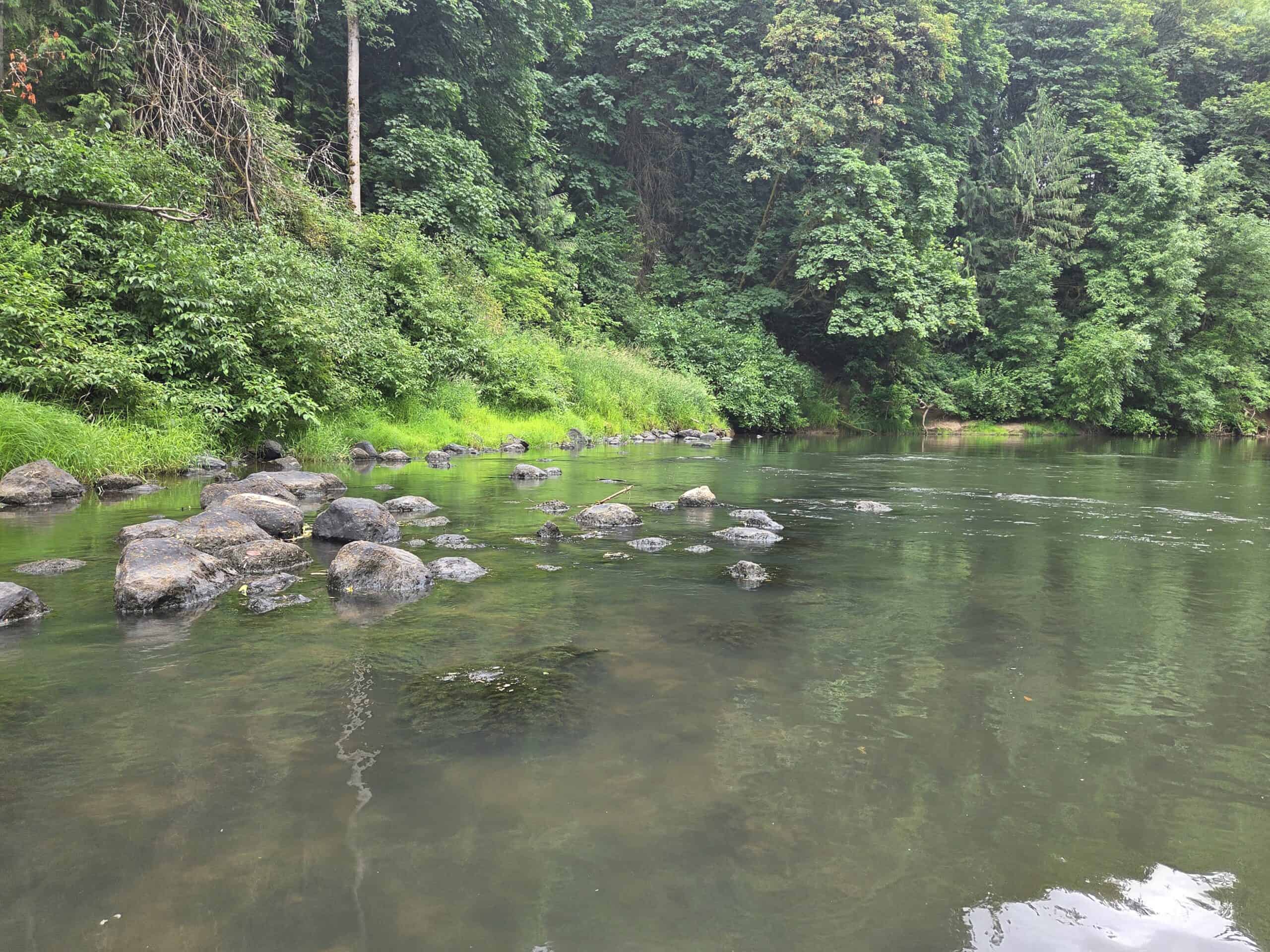
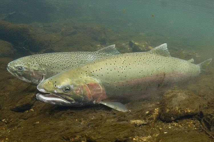
Pools like this river pool make great fish habitat providing both cover and shelter. The surrounding vegetation helps keep the water cool for the Tualatin River fish which include Cutthroat, Rainbow and Steelhead Trout; Smallmouth Bass, Blue Gill, carp, crappies and sticklebacks. Threatened Steelhead Trout return to upper Tualatin River tributaries to spawn in the clear swift running streams.