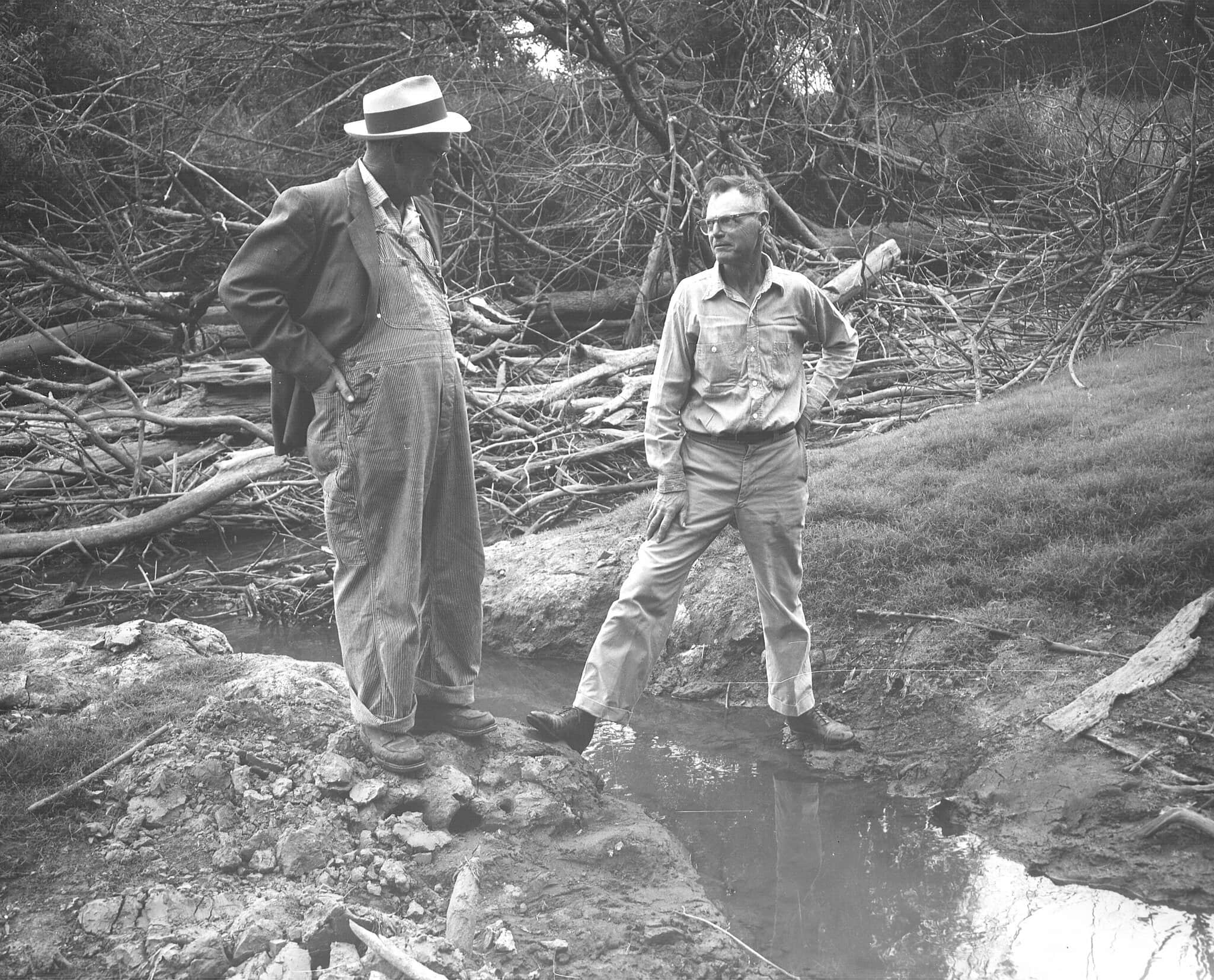
By the 1950s and 60s, it was recognized that the slow and sensitive Tualatin River was polluted and choked due to growing water needs and inadequate sewage handling. The pollution was so bad that the river was sometimes referred to as the “Toilet-In”. As a result, in September 1969, the Oregon Environmental Quality Commission (EQC) imposed a building moratorium in Washington County until three conditions were met: 1) A regional authority to handle sewage was formed; 2) Financing was secured for the needed improvements, and 3) A source of water to augment flows in the Tualatin River was secured.
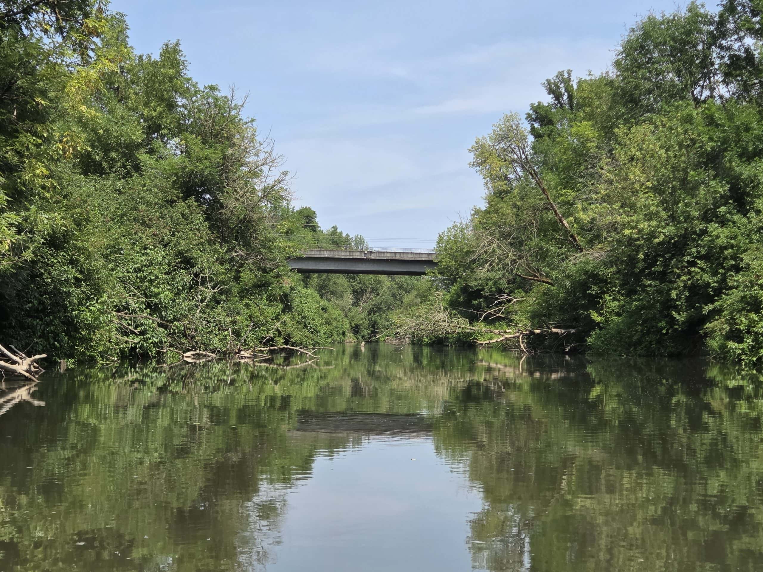
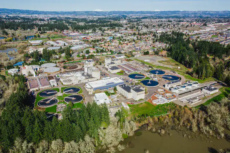
In February 1970, voters approved the formation of the Unified Sewerage Agency (USA) to consolidate 26 wastewater treatment facilities into one coordinated system. In May 1970 all the conditions were met for the EQC to lift the building moratorium. Over the next decade, the old treatment facilities except Forest Grove (built 1951) and Hillsboro (built 1969) were shut down and two new state of the art facilities, Durham (built 1976) and Rock Creek (built 1978), were brought on-line. In 2001, USA was renamed to Clean Water Services (CWS) to reflect its broader role as a water resource manager. Today, the Tualatin River, while still facing challenges, is a relatively healthy and safe river to recreate in. Credit: Clean Water Services
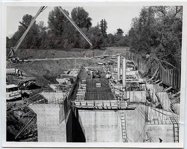
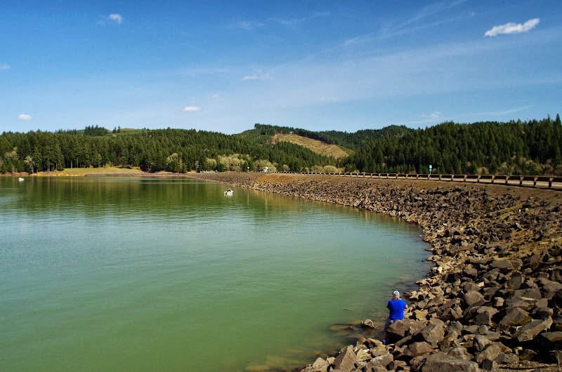
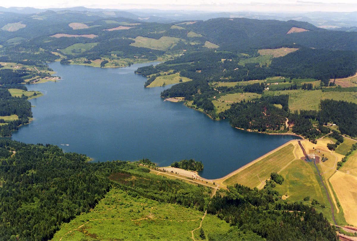
Separately, as early as 1948, it was realized that Washington County did not have an adequate supply of water to meet the community’s growing water needs. In September 1966, Congress authorized the Bureau of Reclamation (BOR) to take on the “Tualatin Project” which included the creation of Scoggins Dam, Hagg Lake, Springhill and Patton Valley Pump Stations and more than 120 miles of a piped distribution system. Construction of Scoggins Dam started in 1970 and finished in 1974. The Tualatin Valley Irrigation District (TVID) took over maintenance of the Scoggins Dam from the BOR in 1983. TVID releases water from the Scoggins Dam year-round to maintain a more consistent flow of water in the Tualatin River during dry summer months.
In 2007, the BOR conducted a seismic analysis of the Scoggins Dam and found that it could fail in a large scale earthquake. Such a failure would endanger a significant amount of people and property in the resulting flood pathway. The BOR is in the early stages of a project to fortify the Scoggins Dam to make it better able to withstand a large earthquake.