Scholls Bridge

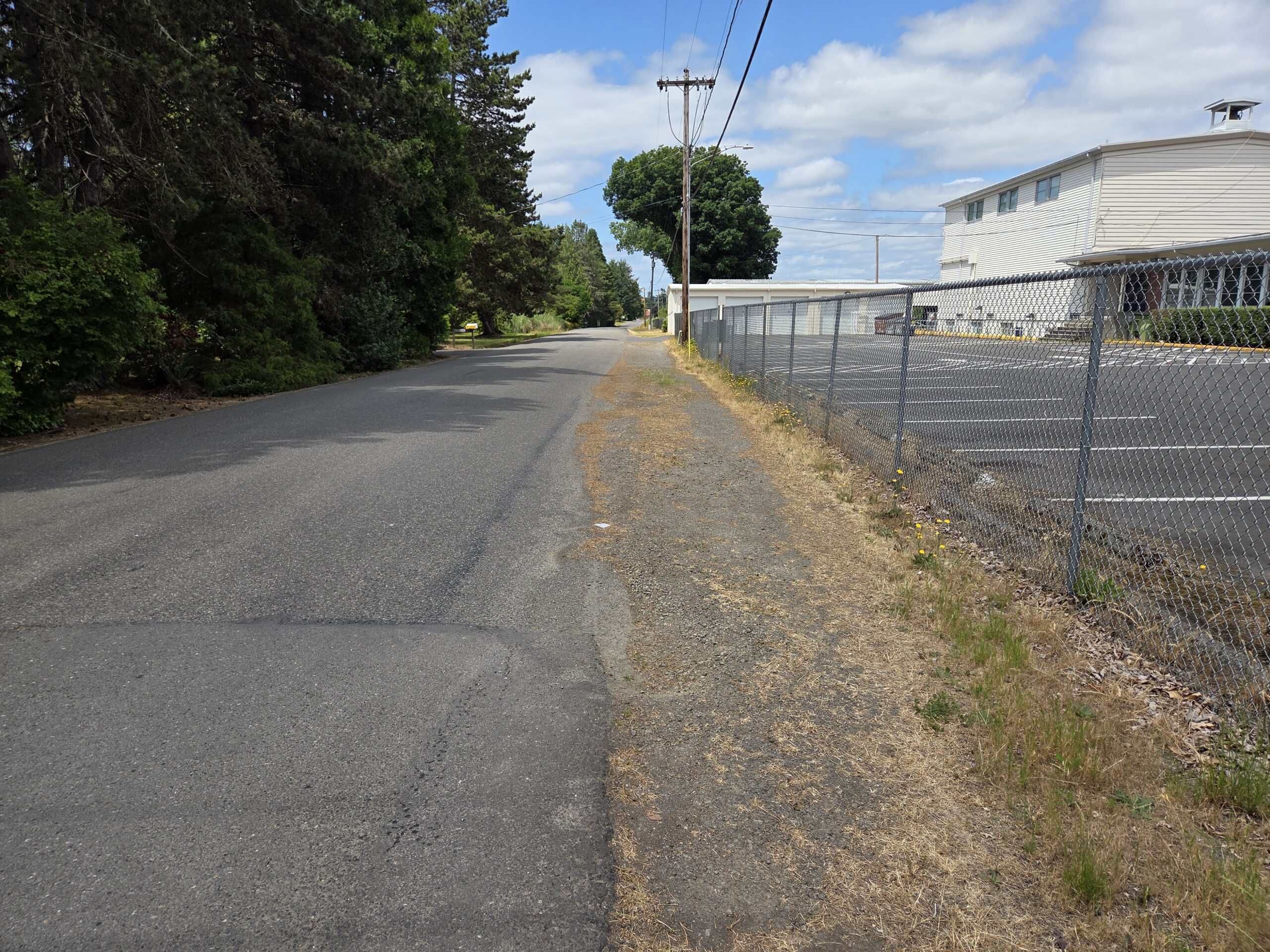
Launch site with primitive river access, limited parking, and no amenities. Parking on Rainbow Lane by Groner Elementary School is the best option. Be careful of traffic when loading and unloading.

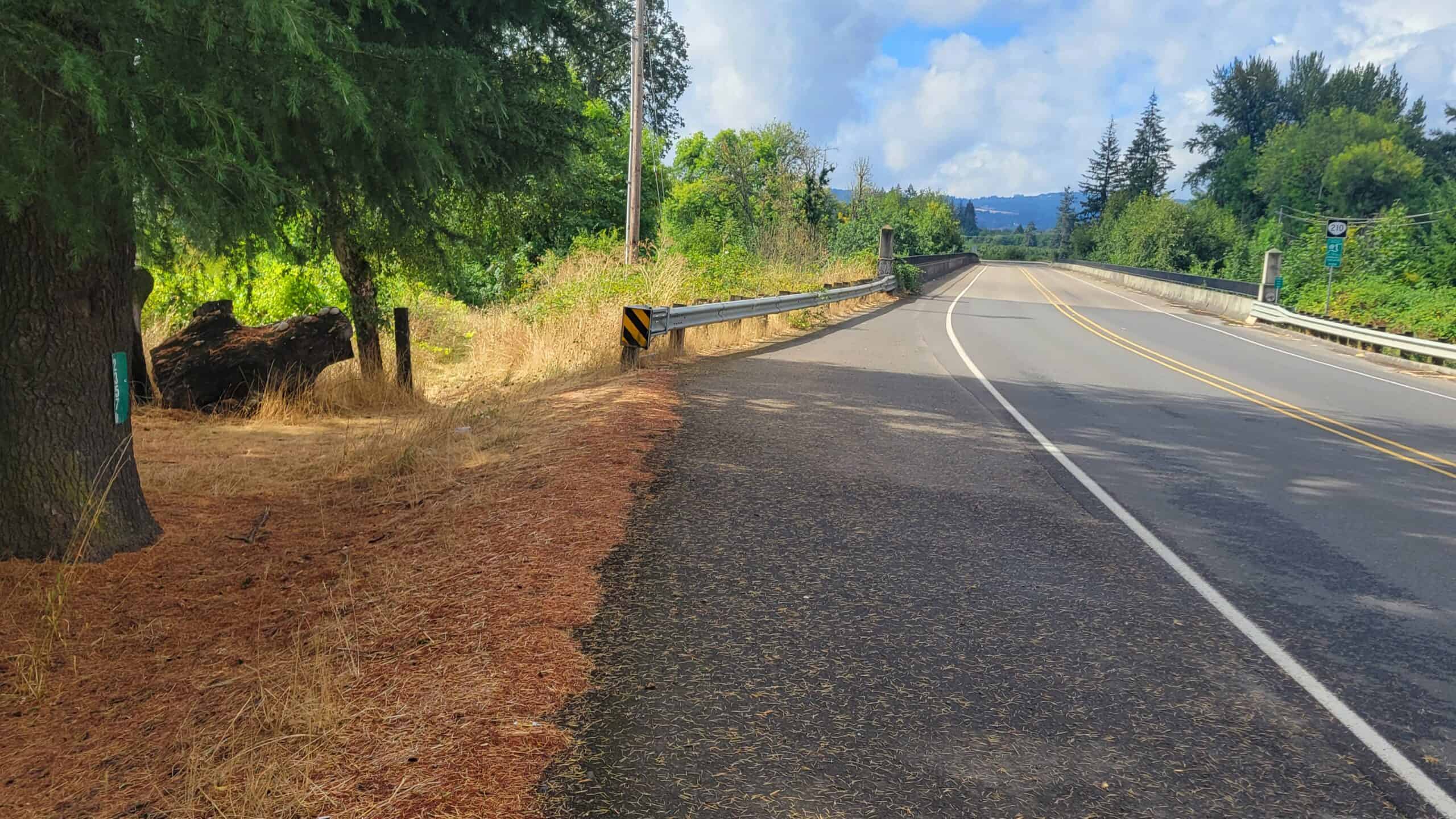
Click here for more information on the Scholls Ferry & Bridge.

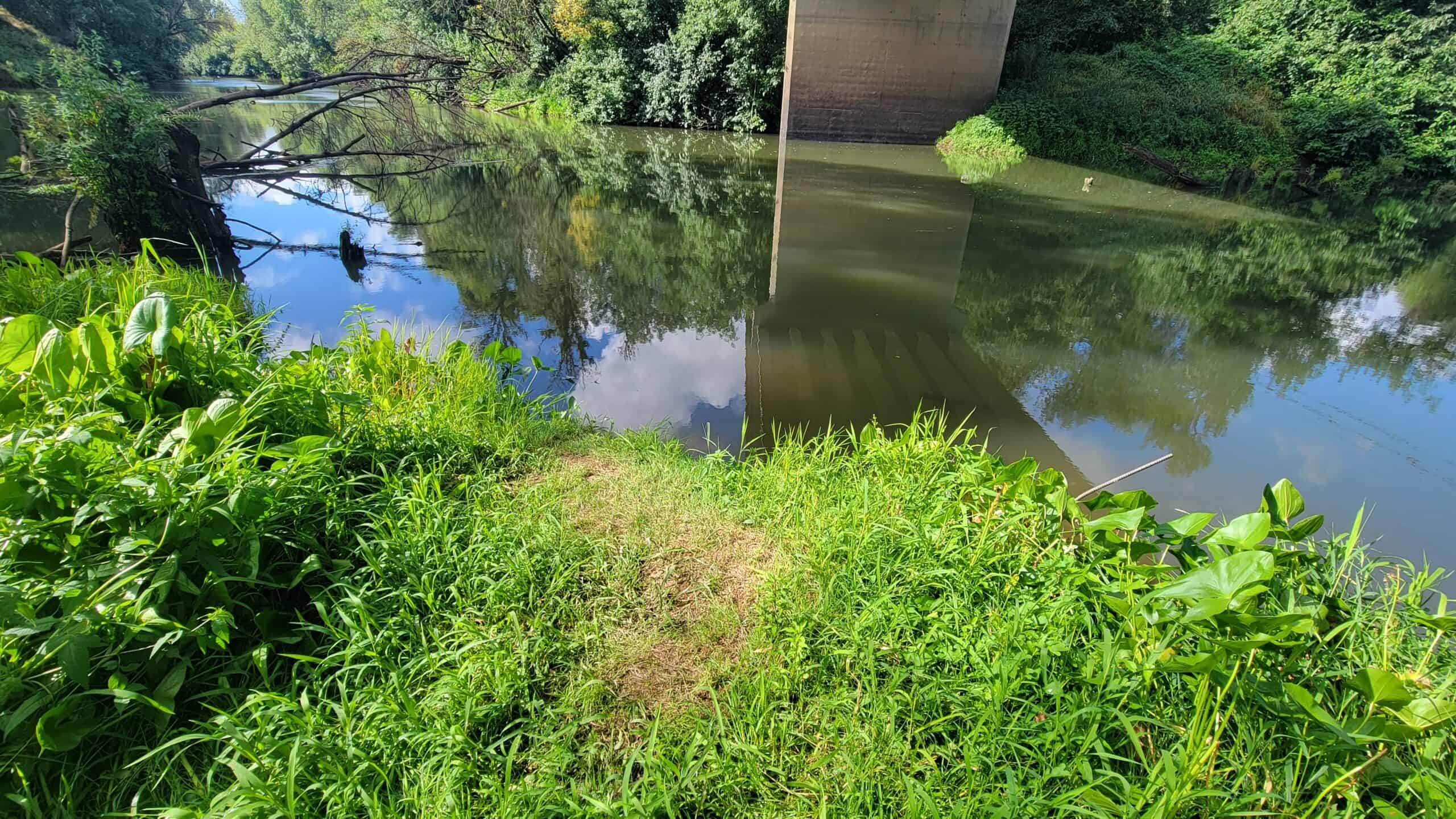
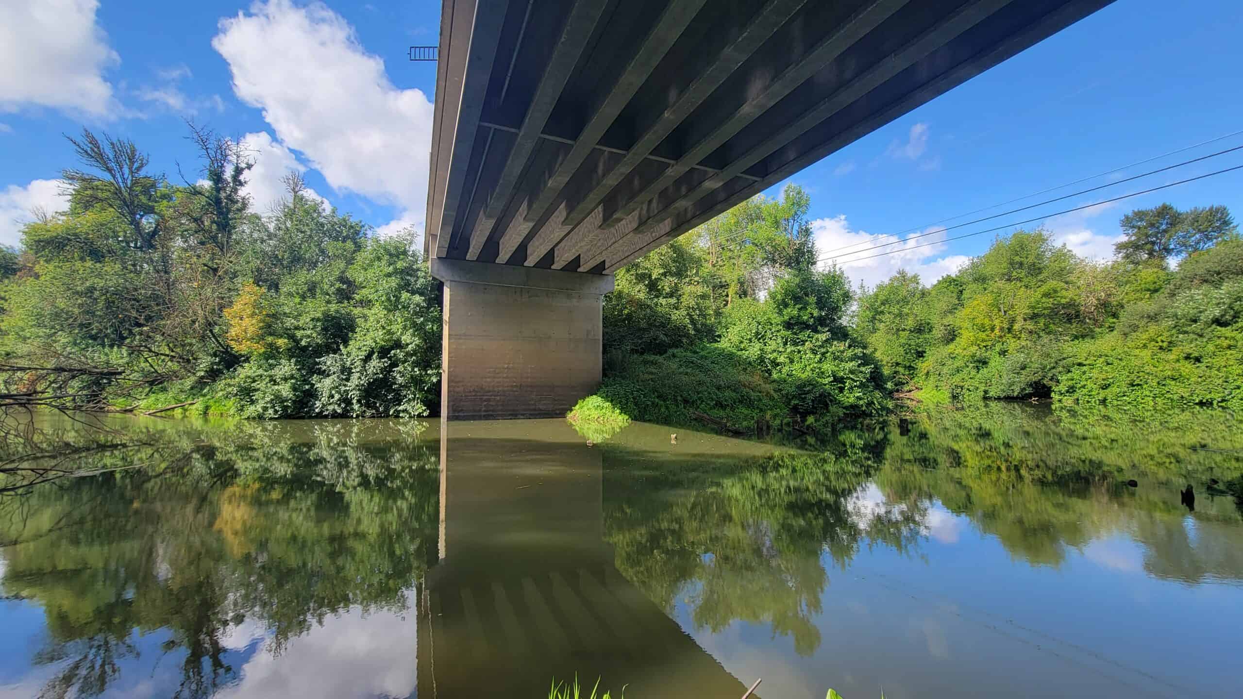
Click here for more information on saw mill and tile factory located at this site.

Parking

10 gravel parking spots

River Access:

River Mile 26.9

500 foot dirt/grass path from the northeast side of the bridge to the dirt riverbank access. The riverbank is slippery when muddy. Check out the condition of the riverbank before unloading paddlecraft.

Upriver:

Eagle Landing Park (River Mile 29.6)
2.7 miles (1.5 hours paddling time)

Downriver:

Tualatin River National Wildlife Refuge (River Mile 15.2)
11.7 miles (6 hours paddling time)
There is no paddlecraft put in or take out in the Refuge. The nearest downriver take out is:
King City Community Park (River Mile 12.7)
14.2 miles (7 hours paddling time)

Site Amenities

Parking: Limited
River Access: Moderate
Dock/Ramp: No
River Access: Moderate
Dock/Ramp: No
Restrooms: No
Picnic Area: No
Trash Cans: No
Playground: No
Bike Rack: No
EV Charging Station: No
Ebike Charging Station: No
Dogs Allowed: Yes
Water Trail Map At Site: No
Life Jacket Kiosk: No
Boat Storage Rack: No

Paddlecraft Rental: N/A

Parking On Rainbow Lane

Walkway To River Access

Northeast Corner Of Scholls Bridge

River Access

Scholls Bridge